
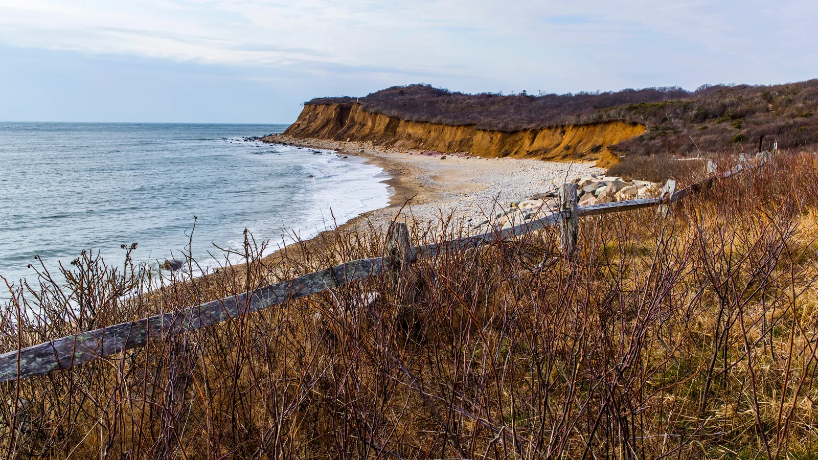
For almost 60 years, the most beautiful stretch of undeveloped coast on Long Island's North Shore has sat behind a fence, owned by a utility, attached to the most famous power plant that never ran. That ended this week. New York State announced on Thursday that its Department of Environmental Conservation has bought nearly 750 acres surrounding the former Shoreham Nuclear Power Plant from National Grid for $28.25 million, the largest land acquisition the DEC has ever made on Long Island.
What $28.25 million bought
The property spreads across the hamlets of Shoreham and Wading River in Suffolk County, and the inventory reads like a sampler of every landscape Long Island has left to lose. There are sand and gravel beaches along nearly a mile of Long Island Sound shoreline. There are bluffs that rise 100 feet above the water. Behind them sit maritime shrublands, coastal oak-heath forest and a run of rare pine barrens that falls inside the Central Pine Barrens Core Preservation Area, along with more than 40 acres of tidal marshes and shrub swamps.
The land is working habitat, not just scenery. Osprey fish its shoreline, the endangered piping plover nests on beaches like these, and the parcel shelters rare native plants that have vanished from most of the Island. It also holds Split Rock, a massive glacial boulder complex that carries spiritual significance for several Native American tribes, now permanently in public hands.
The purchase money came from three pots: the federal EPA's Long Island Sound Partnership Program, the state's Clean Water Infrastructure Act, and a fund Long Islanders themselves voted for, the 1996 Clean Water, Clean Air Bond Act.
The strangest preservation story on Long Island
This coast is wild today because of a failure. The land was assembled decades ago for the Shoreham Nuclear Power Plant, the project that became Long Island's defining cautionary tale: the plant was built, finished and then never allowed to enter commercial service, abandoned in 1989 when the long fight over whether Long Island could ever be evacuated in an emergency ended in a deal to close it, and decommissioned by 1994. Long Islanders of a certain age paid for it anyway, line by line on their electric bills, for decades.
But while the lawyers and the legislators fought, the hundreds of acres around the plant just sat there. No subdivisions, no shopping centers, no marinas. The fight that cost ratepayers so much also froze one of the last big pieces of the North Shore exactly as it was, and when the dust finally settled, the Island discovered it had accidentally preserved a coastline.
The DEC has been trying to make that accident permanent for more than a decade. The parcel was named a priority in the state's 2016 Open Space Conservation Plan and again in the draft 2026 plan, and the agency describes the deal as protection for two things no amount of money can rebuild: the Long Island Sound estuary and the sole source aquifer that supplies every drop of drinking water on the Island.
When you can actually walk it
Not immediately, and it is worth being straight about that. The DEC owns and manages the property as of now, and the agency says a public parking area and marked trails will be designed and installed in the coming years, with plans that include beach access and accessible multi-use trails. Nobody has published a date for the first trailhead.
Still, the direction is set. A stretch of Sound coast nearly a mile long, with 100-foot bluffs and beaches that almost nobody living has ever legally stood on, is now on a path to public access. For the towns nearby, that is a future state preserve next door. For everyone else on the Island, it is a new place to eventually hike, birdwatch and put a kayak in, a short drive off Route 25A on the North Shore.
Part of a bigger map
Albany is counting the purchase toward the state's 30x30 initiative, the goal of protecting 30 percent of New York's lands and waters by 2030, and conservation groups from the Long Island Pine Barrens Society to Save the Sound and The Nature Conservancy lined up behind the announcement. On an island where open land disappears a parcel at a time and almost never comes back, 750 acres moving to the public side of the ledger in a single transaction is a once-a-generation event.
There is something fitting in the ending. Shoreham the power plant became shorthand for the Island's most expensive mistake. Shoreham the preserve, whenever its first trail opens, will be the opposite: the one piece of that whole saga Long Islanders get to keep, walk and hand to their kids. The fence finally comes down on the right side of history.
Loading comments…