
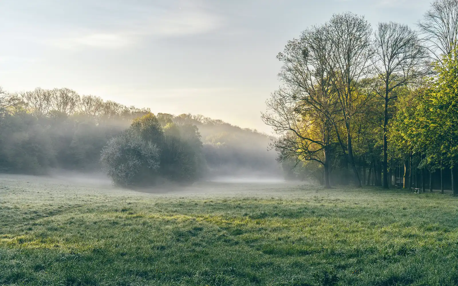
On July 22, town officials and conservationists stood on a five-acre patch of woods in Oyster Bay Cove to mark something that does not usually get a ceremony: a piece of Long Island that will not be developed. The parcel is small. The reason it was worth $1.29 million of state money has less to do with what grows on top of it than with what sits beneath it.
What was preserved
The land sits off Yellow Cote Road in Oyster Bay Cove, roughly five acres of woodland, wetland and open meadow. The North Shore Land Alliance, a regional land trust, acquired it from the Pulling family, which had owned it for more than a century.
The purchase was made possible by a $1.29 million grant from the New York State Department of Environmental Conservation, awarded in January through its Water Quality Improvement Project program, with community contributions closing the gap. The parcel adjoins the Nassau County-owned Red Cote Preserve, about 30 acres, and its addition stitches the two together into a single unbroken block.
"The preservation of open space is an investment in our future," Town of Oyster Bay Supervisor Joseph Saladino said at the event. "By protecting this property, we're preserving Long Island's natural beauty, safeguarding drinking water."
Assemblyman Jake Blumencranz framed it in similar terms, saying that protecting open space "strengthens our communities and helps preserve the natural resources that make Long Island special." Land Alliance President Lisa Ott called the acquisition "a tremendous victory for conservation" that "ensures this special place remains protected for future generations."
Why this parcel and not another
The grant came from a water quality program rather than a parks program, and that is the whole explanation. This land sits inside a Special Groundwater Protection Area.
Nearly three million people on Long Island drink water that comes from directly underfoot. The Island's aquifer system is federally designated as a sole-source aquifer, which is the technical way of saying there is no backup. There is no upstate reservoir on the other end of the tap. Whatever soaks into Long Island's ground is, eventually, what comes out of Long Island's faucets.
New York identified a handful of areas where that recharge is most concentrated and most vulnerable and designated them Special Groundwater Protection Areas. Oyster Bay's is one. Undeveloped land inside those boundaries does something a treatment plant cannot: it lets rain filter slowly through soil and root systems instead of running off a roof, across a driveway, into a storm drain and out to the harbor, collecting fertilizer and road salt on the way.
Five acres of woodland inside a recharge zone is therefore not a modest environmental win. It is a piece of water infrastructure that happens to look like a forest.
It is worth reading alongside what Long Island is already spending to pull contaminants out of that same water supply. Filtration is expensive and permanent. Not contaminating the water in the first place is cheaper, and land like this is how that gets done.
A century in one family
The detail that gives the story its weight is that the Pulling family held this ground for more than a hundred years and, in a market where five buildable acres in Oyster Bay Cove is worth a great deal, sold it to a land trust instead.
That is the ordinary mechanism by which Long Island's remaining open space survives, and it is more fragile than it sounds. Preservation deals nearly always run on a clock: a land trust secures an option, then races to assemble public grants and private donations before the option expires. Miss the window and the parcel returns to the open market, where it is worth considerably more subdivided than intact. Every preserve on the North Shore represents one of these races that was won. The ones that were lost are subdivisions now, and nobody holds a ceremony for those.
What happens to the land now
Preserved does not mean untouched. The Land Alliance has stewardship work planned: pruning trees, removing sections of old fencing, managing invasive species and planting a native pollinator garden.
The habitat value is specific rather than generic. The mix of woodland, vernal pools and meadow supports pollinators, nesting birds and box turtles, a species that needs exactly this kind of connected, undisturbed ground and does poorly when its range is chopped into pieces by roads and lawns. Joining the parcel to the existing county preserve creates a wildlife corridor, which matters because a five-acre island of habitat and five acres attached to thirty are not remotely the same thing biologically.
The arithmetic of preservation here
Land preservation on Long Island runs on an uncomfortable ratio. Each acre saved costs more than the last, because the acres still available are the ones that survived a century of a rising market, and they survived it by being valuable enough that nobody had to sell in a hurry.
That is why $1.29 million for five acres reads as expensive if you think of it as buying a park, and reasonable if you think of it as buying permanent protection for a recharge area serving one of the most densely populated aquifers in the country.
Whether anyone will walk it is almost beside the point. Its job is to sit there and let the rain through.
Loading comments…