
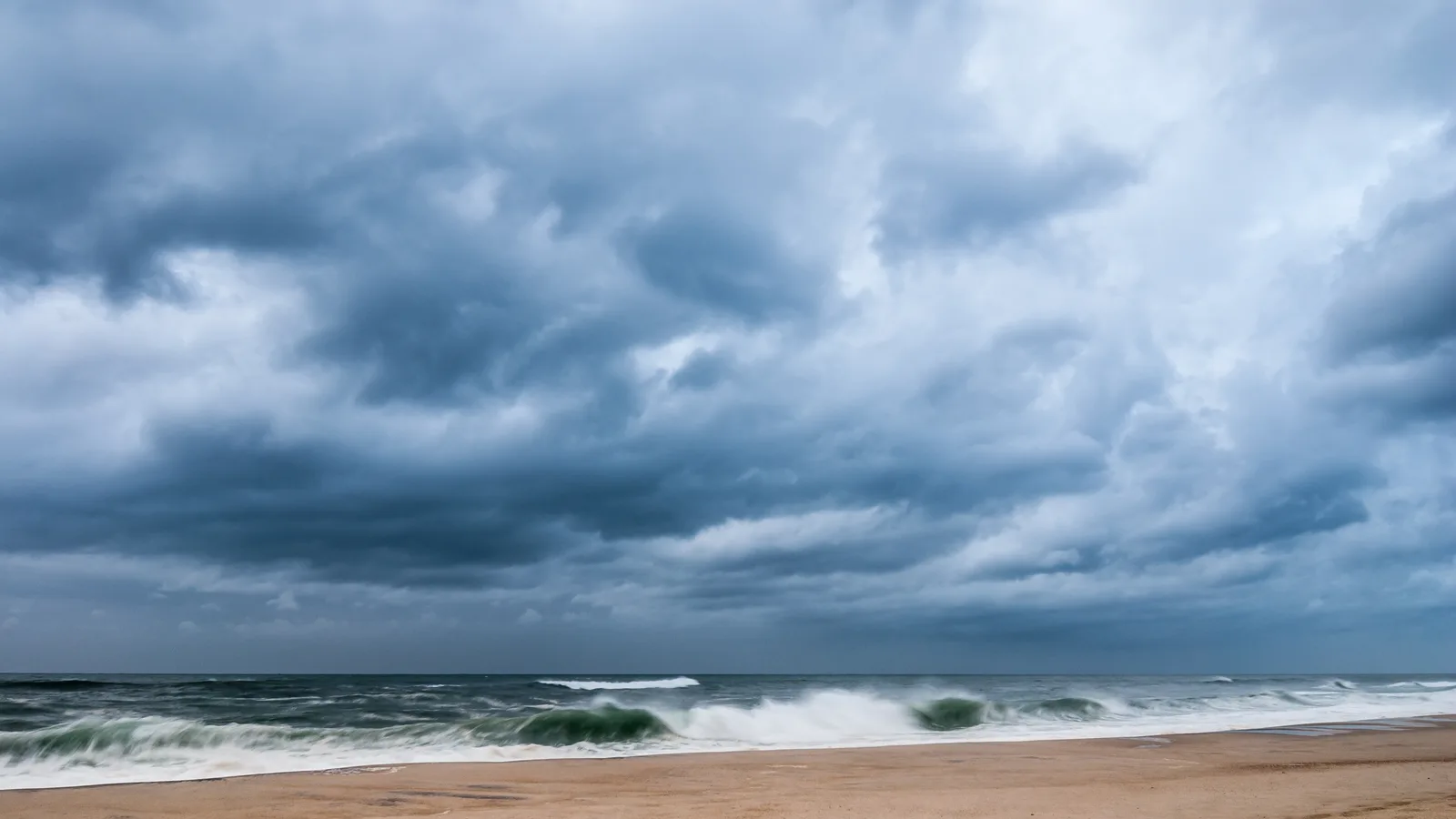
Governor Kathy Hochul declared a state of emergency for Nassau and Suffolk counties Friday afternoon as a slow, powerful nor'easter settled in off the coast, and the declaration comes with an unusually blunt instruction for a September storm: stay alert, stay out of the water, and skip any travel you do not need through the weekend. New York City and Westchester are under the same order. The storm began reaching Long Island Friday morning and is forecast to sit on the region into Sunday.
This is not a fast-moving squall that blows through overnight. The National Weather Service expects northeast winds of 20 to 25 mph to blow for somewhere between 24 and 36 hours straight, gusting 40 to 50 mph across most of the Island and up to 55 or 60 mph on the East End. The worst of it arrives Friday night and holds through Sunday morning. Between 1.5 and 3 inches of rain are expected Island-wide, with 3 to 5 inches possible east of Riverhead, where isolated flash flooding is a concern.
The water is the main event
A coastal flood warning covers every shoreline Long Island has, from 6 p.m. Friday to 6 p.m. Sunday, and the flooding will not come all at once. It arrives in rounds, at every high tide, over multiple cycles.
On the ocean side, forecasters expect one to two feet of water above ground level in the usual vulnerable spots near the waterfront, with the single worst round coming on the Saturday morning high tide. The north shore actually draws the tougher number: along the Sound in northern Nassau and northwestern Suffolk, two to three feet of inundation is expected, peaking with the daytime tides Saturday and Sunday. Flooding will push inland along the tidal rivers and bays, which means the canal blocks in Lindenhurst and Babylon, the low streets of Freeport and Island Park, and the harbor edges of Northport and Port Jefferson are all in play, not just the barrier beaches.
The practical version: numerous road closures are likely near the water, and a car parked on a flood-prone street near the shoreline stands a real chance of taking on water. Moving it a few blocks uphill Friday evening is the cheapest insurance this weekend offers.
Stay off the beach entirely
The surf forecast is the kind Long Island usually sees in a tropical system. Breaking waves of 9 to 15 feet are expected on Suffolk's ocean beaches and 7 to 12 feet along Nassau's, with seas of 15 to 22 feet offshore to the east. Rip currents will be life-threatening for anyone who enters the water, and the state's guidance extends to the sand itself: no swimming, no surfing, no boating, and stay off the jetties, where a single wave can sweep a person in. Localized beach erosion is expected, so some familiar stretches of sand may look different by Monday.
Trees, wires and the long grind
September works against the power grid here. The trees still carry full foliage, the ground will be saturated by long-duration rain, and the wind will lean on all of it for a day and a half. The state has 5,675 utility workers available statewide for restoration work, along with swift-water rescue teams and high-axle vehicles positioned in advance, and crews are staged to clear downed trees from roads.
The reasonable homeowner moves are the usual ones, done before dark on Friday: bring in or tie down anything in the yard that can fly, charge phones and anything else with a battery, and know where the flashlights are. The state also runs a free text alert service: text your county name to 333111 and weather and emergency alerts arrive by text as they are issued.
What this does to the weekend
Expect outdoor plans to fall like dominoes. Street fairs, festivals and outdoor concerts scheduled for Saturday and Sunday are being postponed or moved across the Island, so check an event's own page before driving anywhere. Our weekend guide was built with this storm in mind, and everything in it can take the rain.
One notable holdout as of Friday afternoon: the Long Island Ducks list Game 3 of the Atlantic League Championship Series as on for Friday night in Central Islip, where a win would clinch the title at home.
The storm asks less of most people than a hurricane does, and that is exactly why officials worry about it. Nobody boards up for two feet of tide. But the difference between a rough weekend and a ruined one here is small: move the car, stay off the sand, give the Saturday morning tide a wide berth, and let the whole thing wear itself out by Sunday night.
Loading comments…