
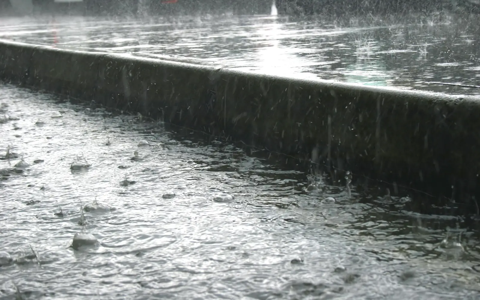
The rain that started falling across Nassau and Suffolk this afternoon is not an ordinary summer thunderstorm, and the National Weather Service has said so in the plainest terms it has: a Flood Watch, in effect from 2 p.m. Tuesday through Wednesday evening, covering Northern Nassau, Southern Nassau, Northwest Suffolk and Southwest Suffolk.
The forecast is for a slow-moving low to sit over the region and deliver round after round of heavy showers and thunderstorms. Widespread totals of two to five inches are expected, with localized amounts reaching six. Governor Kathy Hochul's office put Long Island, New York City and the Mid-Hudson in the moderate risk category for flash flooding, meaning a 40 to 70 percent chance.
Two inches of rain does not sound like much. On Long Island it is often enough to close a road. Understanding why says something interesting about the ground you are standing on.
What the state has staged
The response numbers give a sense of how seriously Albany is taking it. The Division of Homeland Security and Emergency Services has pre-staged water rescue teams. The Department of Transportation has 3,413 supervisors and operators available with 1,415 dump trucks and 315 loaders. Roughly 5,500 utility workers are on call, State Police have extra patrols and watercraft staged, and the MTA has crews inspecting drains and standing by for elevator failures.
The safety message has not changed in decades, because it does not need to: turn around, don't drown. Most flood deaths in this country happen in vehicles, and most of those happen on roads the driver has taken a thousand times before. A South Shore underpass that is dry every other day of the year is not a familiar road when there is water sitting in it, because you cannot see how deep it is or whether the pavement is still under there.
There is also a high rip current risk along the ocean beaches for the duration, which is worth knowing separately from the rain. Rip currents are what actually kill people on Long Island beaches, and an unsettled ocean makes them worse.
An island built out of a sponge
Here is the strange part. Long Island is, geologically speaking, one of the best-draining places in the Northeast. It is a pile of sand and gravel left behind by a glacier, and rain that lands on undisturbed ground here does not run anywhere. It goes straight down.
That is not a metaphor. It is the entire reason the Island has drinking water. According to the U.S. Geological Survey, groundwater is the sole source of water supply for more than three million people on Long Island. Every glass of tap water from Great Neck to Montauk started as rain that soaked into the ground and worked its way into an aquifer system hundreds of feet thick. There is no reservoir upstate feeding this place. What falls here is what we get.
So why does an island that is essentially a giant sponge flood at all?
Because we put a lid on it
Because a great deal of that sponge now has a roof, a driveway, a parking lot or a road on top of it.
The USGS has documented the effect precisely. As watersheds are urbanized with impervious surfaces, infiltration to groundwater is reduced, which means more stormwater has to be collected by drainage systems instead. Water that used to disappear into the ground now arrives in streams and storm sewers quickly and all at once, which raises peak flows and makes flooding both more frequent and more severe. Hydrologists call the resulting behavior "flashiness," and it is a fair description of what a Long Island street corner does in a downpour.
This is also why the same storm produces different outcomes a mile apart. A wooded stretch of Suffolk pine barrens can absorb a remarkable amount of rain. A shopping center parking lot absorbs none of it, and every drop that lands there has to be somewhere else within minutes. The catch basin at the low end of that lot was sized for a certain rate of arrival, and when the rain exceeds it, the water simply backs up and finds the next lowest thing, which is often a road.
The flooding that comes from underneath
There is a second mechanism that most people have never heard of, and it explains flooding that seems to have no source at all.
The USGS calls it groundwater emergence flooding: what happens when a rising water table intersects the land surface or the infrastructure buried in it. Not water flowing downhill into your street, but water pushing up into it.
Researchers mapped the hazard across roughly 3,100 square miles of Long Island and the coastal land ringing Long Island Sound, dividing it into more than 11,400 grid cells and scoring each one on two factors: how close the water table sits to the surface, and how slowly the local soils let water through. Where both conditions line up, and they line up most often in coastal areas and near ponds and streams, heavy rain does not need a river to overflow. The ground itself becomes the source.
It also explains the flooded basement in a house that is nowhere near a creek, and the low corner of a parking lot that holds water for two days after the sky clears. The analysis found that under higher sea level scenarios the hazard increases in some places nearer the coast, which is a quiet but significant finding for an island where a great deal of the housing stock sits within a few feet of the water table.
What to actually do tonight
Assume the roads you know are not the roads you know. Standing water hides potholes, open catch basins and washed-out shoulders, and a foot of moving water is enough to float most passenger cars. If you cannot see the pavement, do not find out.
If you have a sump pump, this is the night to confirm it runs and that the discharge line is not blocked. If you have a storm drain in front of your house, clearing the leaves and grass clippings off the grate takes about ninety seconds and can meaningfully change how your block drains. And if you park in a low spot, move the car before the rain rather than during it.
Rain is not a crisis on Long Island. It is the water supply. The problem is only ever the speed.
Loading comments…