
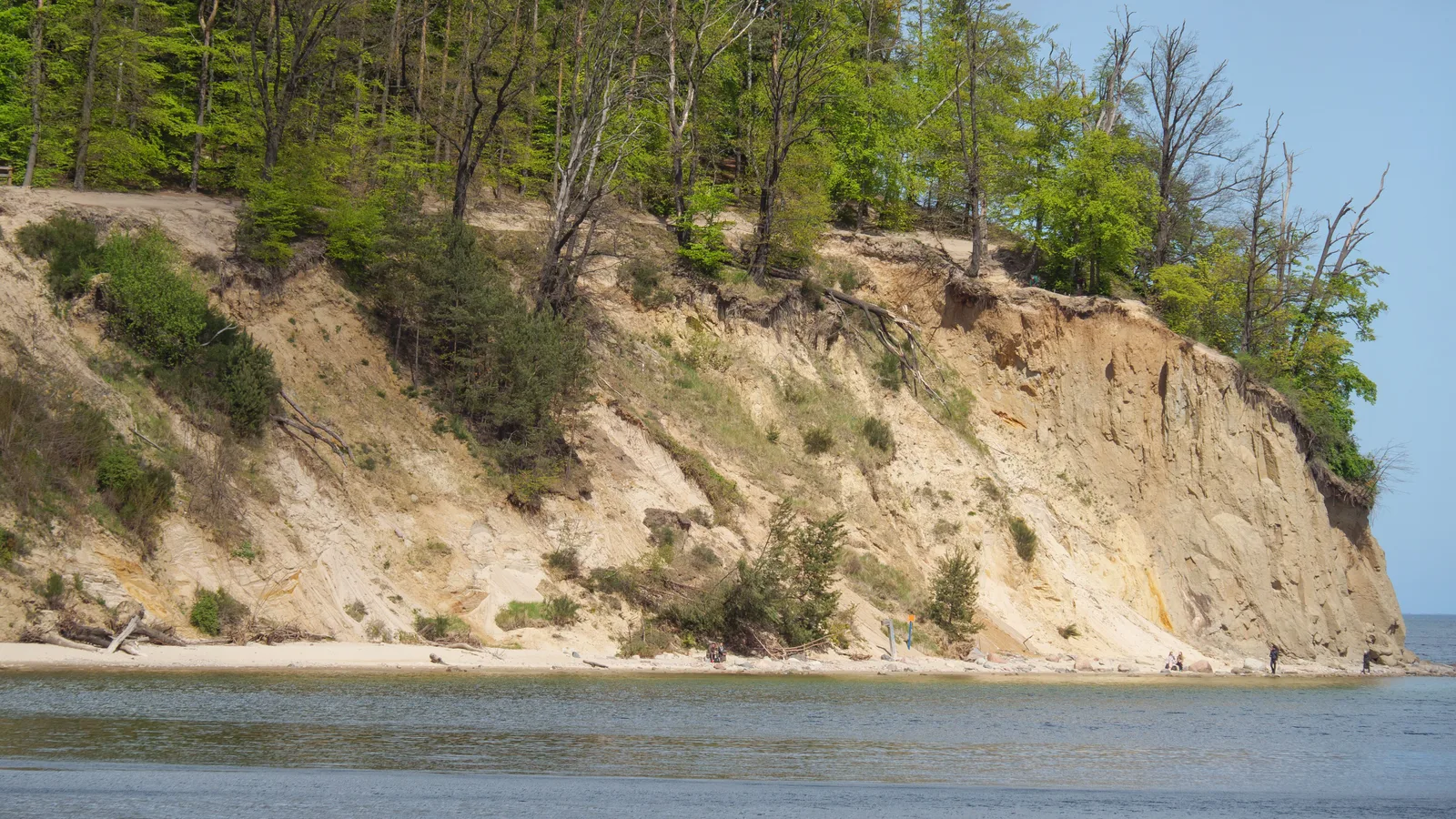
On Thursday, August 13, at 5:30 in the evening, the Brookhaven Town Board will hold a public hearing on Introductory Local Law Number 10 of 2026. The law would amend Chapter 85 of the Town Code, the zoning chapter, to establish a Steep Slope Protection Overlay District.
That sentence is very nearly the entire public record. The notice, signed by Town Clerk Kevin J. LaValle and posted July 16, gives the date, the time, the room and the title. It does not say which slopes. It does not say what grade triggers the district, what activity it would restrict, or where the lines would fall on a map. For that, the notice says, a full copy of the proposed local law is on file in the Town Clerk office and available for inspection during regular Town business hours.
Farmingville is a drive for most of Brookhaven. Regular business hours are the hours most people are working.
What an overlay district actually does
An overlay is a second layer of zoning drawn on top of the zoning already there. The underlying district still governs what you may build. The overlay adds conditions on top of it, usually tied to a physical feature the base map ignores: a floodplain, an aquifer recharge area, a historic corridor, a slope.
The practical effect is that two identical lots in the same zoning district can carry very different obligations, because one of them happens to sit on a hillside. That is the point. It is also why the map matters as much as the text, and why neither being published is a real problem for anyone trying to decide whether to drive to Farmingville on a Thursday evening.
Why Brookhaven has a slope problem worth legislating
Brookhaven runs from the Great South Bay to Long Island Sound, and the north end of it is the steepest ground in Suffolk County. The town code already recognizes this. Its coastal erosion provisions define a bluff on the north shore as a bank or cliff with a precipitous or steeply sloped face adjoining a beach or a body of water, at an elevation greater than 20 feet above sea level. The state Department of Environmental Conservation has drawn a Coastal Erosion Hazard Area Map specifically for the north shore of the Town of Brookhaven.
Inland, the Ronkonkoma moraine gives the town a spine of hills that has nothing to do with the shoreline at all. A steep slope rule written only for bluffs would miss half the terrain. A steep slope rule written for grade alone would sweep in a great deal of ordinary backyard.
The rules that already exist, scattered
It is not as though slopes are unregulated today. They are regulated in four places.
Chapter 35 governs grading. Chapter 81 covers wetlands and waterways. Chapter 86 covers stormwater management and erosion control. And the subdivision requirements in the zoning chapter carry their own numbers: proposed slope embankments along adjoining property lines and street frontages are not to be steeper than one foot in three, roughly 33 percent, unless an adequate stabilization or retention system is installed. Where steep slopes are needed to produce usable lot area in a subdivision, the same one-in-three ceiling applies. A bluff cut made perpendicular to the shoreline for beach access is held to a ramp slope no steeper than one in six, with side slopes no steeper than one in three, unless terraced or structurally stabilized.
What that list shows is a town with real standards and no single door. A homeowner clearing a hillside, a builder cutting a driveway and a developer laying out a subdivision each hit a different chapter, at a different stage, under a different board. An overlay district is the tool a town reaches for when it wants one trigger and one review instead of four.
Whether Local Law 10 is that, or something narrower, or something much broader, is exactly what is not published.
Port Jefferson is doing the same work, out loud
The Village of Port Jefferson, which sits inside Brookhaven and has spent years watching the East Beach bluff move, has been drafting a steep slope code of its own and has discussed widening it into an environmentally sensitive lands code that would fold in wetlands, flood hazard areas and high groundwater alongside slope.
Two governments on the same ground, working the same problem, on separate tracks. That is normal on Long Island. It is also the sort of thing that is easier to align before adoption than after.
The same night, and the week after
The August 13 session also carries a hearing on amendments to the Uniform Traffic Code, at the same 5:30 start. A second Uniform Traffic Code hearing is scheduled for August 27 at 5:30. Neither notice specifies which intersections or which restrictions are involved.
How to be heard
The hearing is at the Second Floor Auditorium, 1 Independence Hill, Farmingville, and is streamed at brookhavenny.gov/meetings. The notice states that any persons interested shall be given the opportunity to be heard. The Town Clerk office can be reached at 631-451-8696, and the full text of the proposed law can be requested there ahead of the date.
A steep slope overlay is a reasonable thing for this town to want. Brookhaven has the terrain for it and the erosion record to justify it. The objection is not to the law. It is that a zoning layer capable of changing what can be built on a hillside gets one paragraph of public description and a filing cabinet, eight days out.
Loading comments…